Preparing for Hurricane Season
With hurricane season on the horizon, it’s essential for those in areas at risk of these severe weather events to be prepared. Even if your home has not been previously impacted by hurricanes, new research suggests that over 13.4 million new properties may be exposed to increased hurricane-related risks in the next 30 years.
Hurricanes are capable of producing winds in excess of 155 mph and causing catastrophic damage to coastlines and several hundred miles inland. Additionally, hurricanes can also lead to storm surges along the coast and cause extensive damage from heavy rainfall. All Atlantic and Gulf of Mexico coastal areas are subject to hurricanes. Parts of the Southwest United States and the Pacific Coast also experience heavy rains and floods each year from hurricanes spawned off Mexico. The Atlantic hurricane season lasts from June to November, with the peak season from mid-August to late October. The Eastern Pacific hurricane season begins May 15 and ends November 30.
To ensure you are prepared for these storms, consider the following steps:
- Understand terminology. Familiarize yourself with the differences between weather event definitions, such as hurricane watches versus warnings:
- Tropical cyclone—This is a warm-core, non-frontal, synoptic-scale cyclone, originating over tropical or subtropical waters, with organized deep convection and a closed surface wind circulation about a well-defined center. Once formed, a tropical cyclone is maintained by the extraction of heat energy from the ocean at high temperature and heat export at the low temperatures of the upper troposphere.
- Tropical depression—This is a tropical cyclone in which the maximum sustained surface wind speed (using the U.S. one-minute average) is 38 mph (33 knots) or less.
- Tropical storm—This is a tropical cyclone in which the maximum sustained surface wind speed (using the U.S. one-minute average) ranges from 39 mph (34 knots) to 73 mph (63 knots).
- Hurricane—This is a tropical cyclone in which the maximum sustained surface wind (using the U.S. one-minute average) is 74 mph (64 knots) or more.
- Storm surge—This is an abnormal rise in sea level accompanying a hurricane or other intense storm, and whose height is the difference between the observed level of the sea surface and the level that would have occurred in the absence of the cyclone. Storm surge is usually estimated by subtracting the normal or astronomic high tide from the observed storm tide. Storm surge can reach heights well over 20 feet and can span hundreds of miles of coastline.
- Storm tide—This is the actual level of seawater resulting from the astronomic tide combined with the storm surge.
- Hurricane warning—This is an announcement that hurricane conditions (sustained winds of 74 mph or higher) are expected somewhere within the specified area. Because hurricane preparedness activities become difficult once winds reach tropical storm force, the hurricane warning is issued 36 hours in advance of the anticipated onset of storm-force winds.
- Hurricane watch—This is an announcement that hurricane conditions (sustained winds of 74 mph or higher) are possible within the specified area. Because hurricane preparedness activities become difficult once winds reach tropical storm force, the hurricane watch is issued 48 hours in advance of the anticipated onset of storm-force winds.
- Tropical storm warning—This is an announcement that tropical storm conditions (sustained winds of 39 mph to 73 mph) are expected somewhere within the specified area within 36 hours.
- Tropical storm watch—This is an announcement that tropical storm conditions (sustained winds of 39 mph to 73 mph) are possible within the specified area within 48 hours.
- Pack an emergency kit. Gather essential supplies, including food and water, medicine, important documents, flashlights, a radio and extra batteries.
- Make a plan. Establish plans for evacuation and ensure all members of your household are familiar with them.
- Protect your property. Clear your property of belongings that could be blown around, cover windows and doors and be ready to turn off your power if necessary. Here are some suggestions:
- Cover all of your home’s windows. Permanent storm shutters offer the best protection for windows. A second option is to board up windows with 5/8-inch marine plywood, cut to fit and ready to install. Tape does not prevent windows from breaking.
- Install straps or additional clips to securely fasten your roof to the frame structure. This will reduce roof damage.
- Be sure trees and shrubs around your home are well trimmed so they are more wind resistant.
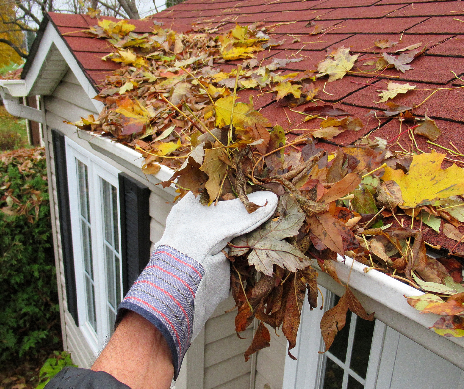
- Clear loose and clogged rain gutters and downspouts.
- Reinforce your garage doors. If wind enters a garage, it can cause dangerous and expensive structural damage.
- Bring in all outdoor furniture, decorations, garbage cans and anything else that is not tied down.
- Determine how and where to secure your boat.
- Install a generator for emergencies.
- If you live in a high-rise building, be prepared to take shelter on or below the 10th floor.
- Consider building a safe room.
Click here for additional hurricane preparedness guidance or contact Vista Insurance Group for advice on protecting your property during hurricane season.
Source: Zywave